Іноземна мова за професійним спрямуванням (Землевпорядкування ІІІ - IV курс)
Вибачте, наразі цей модуль є прихованим
Схема розділу
-
Шановні студенти!
Вітаю Вас на сторінці дистанційного курсу
з дисципліни "Іноземна мова за професійним спрямуванням"!
Тьютор – Левченко Олена Леонідівна, спеціаліст.
Контактні дані: lenalevchenko3087@ukr.net
-
-
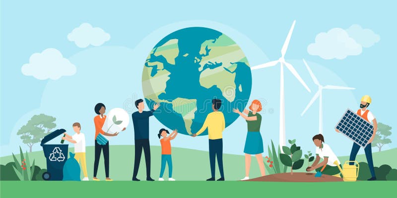
Think over the questions:
What must we do to save our environment?
Name main points of environmental protection.
-
-
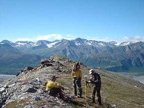
- Why a professional land surveyor is irreplaceable?
- The importance of professional land surveying
- Is a Professional Land Surveyor Still Necessary?
- Final thoughts


:strip_icc():format(webp)/how-to-follow-up-on-the-status-of-a-job-application-2061590-v4-5b71e98546e0fb0050e0855e.png)

